
“Baltimore has focused on monitoring and maintaining the [trees] it already has—and is one of the few cities whose urban forest is expanding”
By: Christine McLaren
As good as tree-planting makes us feel, maintaining a truly productive tree canopy means it’s important to do just that: maintain it..we need to keep the trees we already have alive…especially in cities, where trees are a crucial bulwark against heatwaves and the heat island effect. Big, old trees are cities’ sprawling parasols. Yet, over the last decade, cities in the US have actually lost an average of 175,000 acres of urban forest—36 million trees per year.
Baltimore’s urban forest has actually gotten bigger…
..Baltimore’s secret to keeping its streets green is surprisingly simple: they monitor their trees more closely than almost any other city in the country.
“U.S. Forest Service teamed up with researchers from the University of Vermont’s…to develop a new type of land cover map…it uses high-resolution aerial imagery and a… 3D airborne laser-guided data detection method known as LiDAR. The map…let city officials look at Batimore’s trees more closely than ever before…[combined] with other city data, like health and crime records, property values and census figures.”
“…in places where the tree canopy increased, both temperature and crime declined. The city…put a dollar value on each tree—about $57,000—in order to treat it like an investment, and use the technology to monitor the health of that investment. City arborists now use that information to determine if trees are sick, for example, or in need of pruning or maintenance.”
“[The concern was] how many [of the new trees were] still alive 4 or 5 years later,” Baltimore arborist and head of forestry Erik Dihle…”
The remarkably simple monitoring approach, and the technology that enables it, have since been made available to cities everywhere by the U.S. Forest Service. Known as the Urban Tree Canopy Assessment, it has been applied in at least 30 communities in the U.S. and Canada, and is available as a suite of tools on the U.S. Forest Service website.
According to the U.N. Food and Agriculture Organization, strategic placement of trees in cities can help to cool the air between two and eight degrees Celsius, & can reduce the need for air conditioning by 30% & heating bills by 20-50%, if placed correctly.
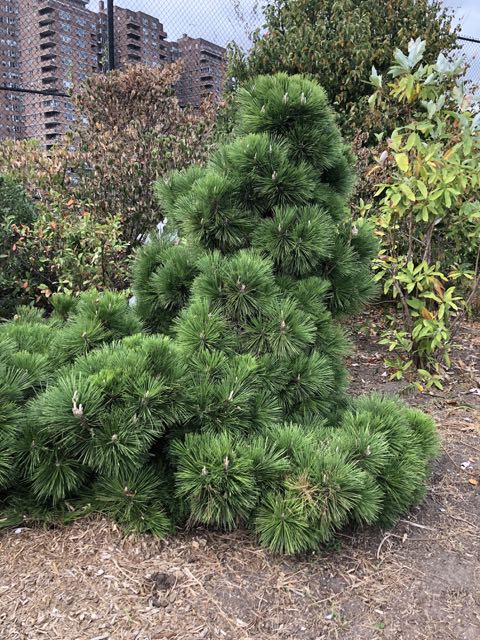
A mature tree also sops up about 150 kg of CO2, a whack of urban air pollutants and more than 15,000 liters of water per year, which, for those concerned with flooding and stormwater management, is a huge deal in our concrete jungles. Plus, they’re pretty.
Read more here.
US Forest Service: “Despite millions of dollars spent each year by federal, state, and local governments on remote sensing datasets, decision makers sometimes still find that they lack basic information about their community’s tree canopy because these datasets have not been converted into practical, readily interpretable information. In the Urban Tree Canopy (UTC) Assessments Program, NRS scientist Morgan Grove, with a partner from the University of Vermont’s Spatial Analysis Laboratory, has developed advanced processing techniques that to help fill this information gap. They have provided new land-cover maps that are 900 times more detailed than existing datasets. These assessment have been completed for over 30 communities in the United States and Canada. The UTC Assessment Program has been recognized for its outreach activities by the Association of Natural Resourced Educational Professionals and for its use of advanced image processing algorithms by Nobel Laureate Dr. Gerd Binnig.”
Tree Canopy Assessment Tools available from US Forestry.