
NYTimes:
In New York, Drawing Flood Maps Is a ‘Game of Inches’
As FEMA revises the maps to account for climate change, deciding who is in the flood zone will be a battle with millions of dollars at stake.
”
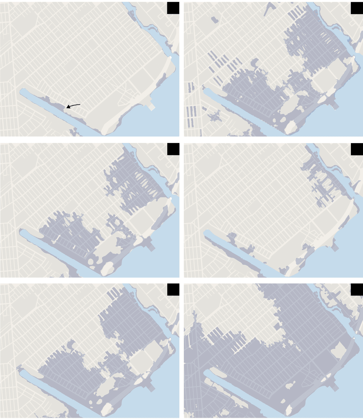
With its 520 miles of coastline and thousands of acres of waterfront development, New York has more residents living in high-risk flood zones than any other city in the country. Hurricane Sandy, the devastating October 2012 storm, did $19 billion in damage to the city, and the pace of development along the water has only increased.
Now, after a year in which hurricanes ravaged Houston and the Caribbean, the Federal Emergency Management Agency is substantially redrawing New York’s flood maps for the first time in three decades. It is a painstaking process that will affect tens, if not hundreds, of thousands of people, determining how and where buildings can be constructed and the cost of flood insurance on everything from modest bungalows to luxury skyscrapers.”
From NYTimes